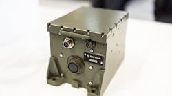
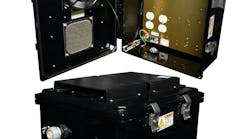
Officials of the Naval Surface Warfare Center in Panama City, Fla., have announced a $7.3 million contract to Hydroid to develop and build one prototype bathymetry mapping system sensor suite that represents a sensor version that could be mass-produced.
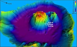
Navy researchers want Hydroid to develop a bathymetry mapping sensor able to collect and record swath bathymetry and imagery data of the ocean floor. The goal of the project is use or modify existing commercial off-the-shelf (COTS) technology as much as possible.
Bathymetry is determining and imaging the underwater depths of lakes or ocean floors, typically to support safety of surface or sub-surface navigation, and usually show seafloor relief or terrain as contour lines. Hydroid is a wholly owned subsidiary of Kongsberg Maritime in Kongsberg, Norway.
Related: Navy chooses imaging sonar systems from EdgeTech to support of arctic research projects
On this contract Hydroid will do the work in Pocasset, Mass., and should be finished by August 2017. For more information contact Hydroid online at www.km.kongsberg.com/hydroid, or the Naval Surface Warfare Center-Panama City at www.navsea.navy.mil/Home/WarfareCenters/NSWCPanamaCity.


