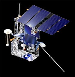
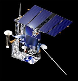
Exelis completes primary payload with new sensor for GOES-R weather satellite
ROCHESTER, N.Y., 2 Nov. 2013. Exelis (NYSE:XLS) engineers have completed the primary payload--the Advanced Baseline Imager (ABI), which provides high-resolution imagery of environmental conditions--for the future Geostationary Operational Environmental Satellite-R (GOES-R) weather satellite.
The ABI is part of the next-generation GOES-R Series program jointly managed by NASA and NOAA. In January, the ABI will be transported to Denver where it will be integrated into its GOES-R satellite for the scheduled 2016 launch.
“The ABI is the foundation of the National Oceanic and Atmospheric Administration’s (NOAA) whole severe weather forecasting capability,” explains Eric Webster, vice president of the Exelis Geospatial Systems weather business area. “We’ve finished it and it is ready for integration into the satellite. This is a huge milestone in a $10 billion program.”
The GOES-R series of satellites will be positioned 22,300 miles above the earth providing 24-hour-a-day coverage of the Western Hemisphere with visible and infrared imagery. The National Weather Service relies on data from NOAA’s geosynchronous satellites to accurately forecast and monitor severe weather like tornadoes and hurricanes, providing the very images people see on television and Internet reports.
NOAA estimates the GOES-R Series Program will save $4.6 billion in economic losses due to improved forecasts and information. In addition, improvements will be made to products used for monitoring rainfall precipitation, wildfires and volcanic ash.
“Given the impacts of severe storms in terms of loss of life, property damage and effects on the economy, better forecasts aren't just a goal but a necessity," Webster adds. "Forecasters need better information and tools to improve the accuracy and lead time of severe storms. Completing the ABI moves NOAA one step closer to providing significant improvements to all aspects of severe weather forecasts: better insight into the makeup of the storm, higher-resolution images and data five times faster than today's capability.”

